|
Knettishall
|
||||

'Big Red' at Knettishall. |

The airfield was located between Knettishall and Coney Weston. |

The airfield is in the center of the map. |

The WWII airfield's map. |

An actual bird's view. |

The runways are in grey. |
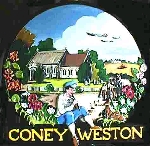
Coney Weston's landscape with some 388th B-17s in the sky. |
|||
Copyright © 2002 by Web
All rights reserved